10 Day Pacific Coast Highway Road Trip: Hidden Spots to Explore
Plan a 10-day Pacific Coast Highway road trip with hidden stops, timing tips, and eSIM advice so navigation, bookings, and detours stay simple and stress-free.

On a 10-day Pacific coast highway road trip, you move from quiet coves to misty cliffs, small towns, and lesser-known viewpoints at a slower, realistic pace. The itinerary explains how to plan driving hours, fuel stops, seasons, and safety so the coast feels relaxed instead of rushed. Jetpac’s eSIM keeps maps, weather, and bookings working even when coverage drops.
What Makes a 10-Day Pacific Coast Highway Road Trip Special
A Pacific Coast Highway road trip is not just about reaching famous viewpoints. It is about slowing down and letting the landscape change naturally as you drive. Over ten days, the coast reveals itself in layers, from misty cliffs and quiet beaches to small towns that feel untouched by mass tourism. This allows you to enjoy the drive rather than rushing from one highlight to the next.
What sets traveling the Pacific Coast Highway apart from other US road trips is that you can enjoy the ocean continuously. You are rarely far from the water, yet the scenery shifts constantly, from rugged cliffs to farmland to wide sandy beaches. This Pacific Coast Highway road trip itinerary focuses on hidden pullouts, quieter towns, and scenic detours instead of just crowded landmarks.
Planning before helps avoid common road-trip stress, and that’s why travelers choose to set up a Jetpac eSIM right after reaching, so directions, reservations, and updates work smoothly from day one.
How to Plan Your Pacific Coast Highway Route Before You Drive
Proper planning makes driving the Pacific Coast Highway safer and far more enjoyable. Small decisions around direction, timing, and vehicle choice can have a big impact on how relaxed your days feel.
Best Direction to Drive the Pacific Coast Highway
Driving north to south is widely considered the best option for a California PCH drive. This keeps the ocean on your right, which means easier access to pullouts and viewpoints. You also avoid crossing traffic when stopping suddenly to admire a view. South to north can still work if flight prices or schedules demand it, but you may need more patience when pulling over.
When to Start Each Day and Why Timing Matters
Morning fog is common along the coast, especially near Big Sur and Monterey. Starting early often means clearer roads and fewer crowds by mid-morning. Afternoon light brings warmer tones for photography, but traffic increases as day-trippers arrive. A balanced schedule helps you see more without feeling rushed.
What Type of Car Works Best for the PCH
Comfort and visibility matter more than luxury. Smaller cars are easier to maneuver on narrow coastal roads, while good fuel efficiency reduces stress in areas with limited services. Convertibles are fun but not necessary, especially when fog or wind rolls in.
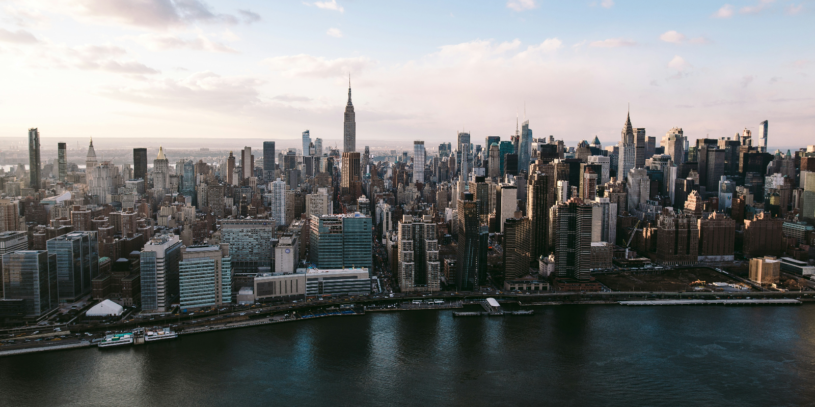
Days 1-2: San Francisco to Monterey via Coastal Detours
The first two days ease you into your Pacific Coast Highway road trip. As you leave San Francisco, city streets quickly give way to cliffs, beaches, and low‑key surf towns. This is the gentle start to your Pacific Coast road trip, not a section to rush through.
Scenic Coastal Stops Most Drivers Skip
South of the city, beaches and bluffs near Half Moon Bay and Pescadero offer wide ocean views without bus crowds. Short walks from parking areas lead to headlands where you can drink coffee, watch waves, and settle into the slower rhythm of the Pacific Coast Highway. Starting this way reminds you that the best moments are often the small, unplanned stops.
Exploring Monterey Beyond Cannery Row
Monterey’s aquarium and main waterfront are well known, but the quieter harbor paths are just as rewarding. Walking the coastal trail at sunrise or sunset often reveals sea otters, seals, and seabirds. It is a good point to check how your Pacific Coast Highway road trip itinerary feels so far and decide whether you want more time in towns, at viewpoints, or on short trails over the next few days.
Days 3-4: Big Sur Without the Crowds
Big Sur is the visual heart of many Pacific Coast Highway road trip plans, which also makes it the busiest segment. A little strategy around timing and stops helps you enjoy the cliffs and bridges without feeling tired by traffic.
Lesser-Known Viewpoints and Short Walks
Many people pull over only at famous bridges, but smaller turnouts often hide better views a few minutes’ walk away. Quiet bluffs and short paths feel more personal than crowded overlooks. Giving yourself time for these detours turns traveling the Pacific Coast Highway into something you truly experience, not just photograph through the windshield.
Planning Around Road Closures and Detours
Landslides and construction sometimes close parts of Highway 1. Check current conditions and detour routes before entering Big Sur so you are not surprised by a barricade. If you need to go inland, redwood forests and small valleys can still feel like a rewarding part of your California PCH drive instead of a setback.
Day 5: San Simeon and the Central Coast’s Quiet Side
By day five, the scenery softens into long beaches and rolling hills. This stretch of your Pacific coast road trip is a good time to slow down, stay in one place for a night, and let your schedule breathe.
Elephant Seal Viewing Without the Rush
The viewing area near San Simeon makes it easy to watch elephant seals from safe platforms. Arriving early or late in the day avoids the largest crowds and lets you hear the colony rather than just the parking lot. Treated this way, the stop often becomes one of the most vivid memories of a Pacific Coast Highway road trip.
Small Town Stops That Feel Local
Nearby Cambria and Cayucos give your Pacific Coast Highway journey a more personal feel. Their walkable main streets, cafés, and piers are ideal for unhurried evenings and sunset watching. Many travelers later remember these simple pauses more than any single famous viewpoint.
Days 6-7: Morro Bay to Santa Barbara via Inland and Coastal Mix
This middle section of your Pacific Coast Highway road trip is where a short inland detour can keep things interesting. Stepping away from the ocean around San Luis Obispo brings you into wine regions, historic missions, and food towns before you return to the shore refreshed. Mixing inland miles with coastline views keeps the Pacific Coast Highway from feeling repetitive.
Why Inland Detours Add Balance
Short drives inland mean quieter roads, local diners, and different scenery. Your eyes get a break from constant cliffs and bright water, which can be surprisingly tiring over long days. When you reach the coast again, it feels new instead of familiar.
Santa Barbara Beyond the Waterfront
Santa Barbara’s main pier area can be busy, but quieter parks and paths sit just beyond the center. Early morning walks or bike rides reveal a calmer side of the city. Staying a night here gives your Pacific Coast Highway road trip a relaxed pause before the final stretch.
Days 8-9: Malibu and the Last Hidden Coastal Views
As you approach Los Angeles, it is easy to assume the wild feeling of the coast is over. In reality, the last two days of a California PCH drive can still include quiet headlands and less crowded beaches if you time your stops well.
Scenic Pullouts and Beaches Away from Crowds
North of central Malibu, state beaches and bluffs often stay calmer than the most photographed spots. Arriving early or visiting on weekdays helps you find parking and enjoy the view without a crowd. These stops are a good chance to look back on how your Pacific Coast Highway road trip has unfolded.
Where the Coast Still Feels Untouched
Less famous coves and gray‑sky days can feel almost wild. Choosing these over only iconic locations gives your Pacific Coast Highway journey a more relaxed and authentic ending.
Day 10: Arriving in Los Angeles Without Ending the Trip Abruptly
How to Transition from Scenic Driving to City Traffic
Aim to reach the outskirts of Los Angeles outside peak rush hours, and check your route before leaving your last coastal stop. This reduces sudden lane changes and last‑minute exits on busy freeways. Finishing your Pacific Coast Highway road trip itinerary this way helps you keep the slower mindset you built along the coast.
Optional Coastal Extensions or Rest Stops
If you are not ready for the trip to feel finished, add one last walk or picnic at a beach park before returning your car. That simple pause lets you close this chapter of traveling the Pacific Coast Highway more intentionally.
Practical Tips That Make a Pacific Coast Highway Trip Smoother
Practical Tips That Make a Pacific Coast Highway Trip Smoother
A few simple habits make a long Pacific Coast Highway road trip feel much easier. Thinking about fuel, food, safety, and navigation early keeps small problems from turning into bigger ones.
Fuel, Food, and Rest Stops Along Remote Stretches
Gas stations and cafés can be widely spaced around Big Sur and other rural zones. Top up when your tank reaches half, keep water and snacks in the car, and mark one or two larger towns as backup stops. This approach keeps your PCH road trip moving without anxious searches for the next station.
Weather, Fog, and Coastal Driving Safety
Fog, wind, and changing light can all affect visibility while you are driving the Pacific Coast Highway. Leaving extra space between cars, slowing down on curves, and avoiding risky passes on blind bends keep everyone safer. If conditions feel stressful, pull into a safe turnout and wait for visibility to improve.
Read More:
If you are planning more road trips across the country, knowing the best time to visit the USA helps you match routes with seasons, daylight hours, and likely road conditions.
👉 Read our blog: Best Time to Visit USA: Seasons, Weather & Travel Tips
Offline Maps, Downloads, and Navigation Prep
Some sections of the Pacific Coast Highway have weak or no signal. Downloading offline maps, music, and podcasts before you start keeps navigation and entertainment working even when your coverage drops. Saving hotel details and key addresses offline makes rerouting easier if plans change.
Staying Connected on the Pacific Coast Highway
Reliable connectivity helps with navigation, alerts, and quick changes when plans shift unexpectedly.
Why Mobile Data Is Less Reliable Than You Expect
Cliffs, tunnels, forests, and rural stretches often interrupt mobile coverage, even with strong carriers. It is common for navigation apps to lag or drop in parts of Big Sur or between smaller towns. Knowing this ahead of time helps you prepare instead of panicking.
WiFi, Local SIMs, or eSIM for a Road Trip
Public WiFi in small towns and cafés is often slow or unreliable, especially for navigation. Local SIMs work but require time at a store or kiosk. Many travelers now prefer an eSIM for California or a broader eSIM for the USA travel, and it activates instantly and works across multiple regions during and after the trip.
Jetpac: A Simple Way to Stay Connected on a 10-Day Pacific Coast Highway Road Trip
Driving the Pacific Coast Highway means passing through cities, steep cliffside roads, and long rural stretches where signal strength can change quickly. Reliable data helps you check road closures, navigate confidently, adjust hotel bookings, and stay in touch if your plans change at the last minute. Many travelers prefer to set up this connectivity before they start the engine.
Jetpac’s eSIM, which works in more than 200 destinations, is helpful if your Pacific Coast Highway road trip is part of a longer journey through the United States or other countries. It connects to multiple networks automatically, which improves coverage along coastal routes where one provider alone may not be enough.
Pricing is fully upfront, with no hidden charges, and is up to 70% cheaper than traditional roaming. You can also share your data connection freely with unlimited hotspot sharing, which is useful if you are traveling with friends or working from the road on a laptop or tablet.
Even when the data runs out, essential apps like Google Maps, Uber, and WhatsApp continue working. Jetpac also offers 24/7 support and includes voice calls and 5G access in over 50 countries, starting from $1.99 for five minutes.
For driving the Pacific Coast Highway, Jetpac keeps connectivity predictable and easy to manage from your phone.
FAQs
How many hours a day should I realistically drive on the PCH?
Aim for about four to six hours of driving per day. This leaves enough time for viewpoints, meals, and short walks without arriving tired or driving in the dark on cliffside roads.
Is the Pacific Coast Highway safe for solo travelers?
Yes, the route is generally safe for solo travelers. Stick to daylight driving, follow speed limits, and let someone know your rough route and nightly stops for extra peace of mind.
Do I need to book hotels in advance or stay flexible?
In summer, weekends and holidays, booking ahead is strongly recommended along the Pacific Coast Highway. In shoulder seasons, you can stay more flexible, but coastal towns still fill up faster than big cities.
What months offer the best balance of weather and fewer crowds?
Late spring, such as May and early June, and early fall, such as September, usually offer mild weather and smaller crowds. Winter can be beautiful too, but comes with more rain and a higher chance of road closures.
Are there stretches with no gas stations or food options?
Yes, especially around Big Sur and between smaller coastal towns. Try to refill your tank when it drops below half, and keep some snacks and water in the car so you are not forced into long detours.
Is cell service reliable for emergencies along Highway 1?
Cell service can be patchy in remote sections. Download offline maps, keep a basic paper map in the car, and note ranger stations or visitor centers where you can ask for help if needed.
Should I download maps before starting the drive?
Yes, offline maps are very helpful for a Pacific Coast Highway road trip. They keep navigation working when your signal drops and make it easier to re-route quickly around closures or missed turns.
Is a convertible worth it for this road trip?
A convertible can be fun on clear, calm days, but it is not essential. Fog, strong sun, and wind are common, so a comfortable car with good visibility and climate control is usually the more practical choice.
Can I rely on an eSIM for data on this route?
For most travelers, an eSIM for the USA travel is enough for navigation and bookings along the coast. Many road trippers use a Jetpac eSIM as an option because it works across borders without needing store visits or physical SIM card swaps.
Disclaimer:
Road conditions, weather, prices, and mobile coverage may change at any time. Always check official sources, local advisories, and current updates before beginning your trip.